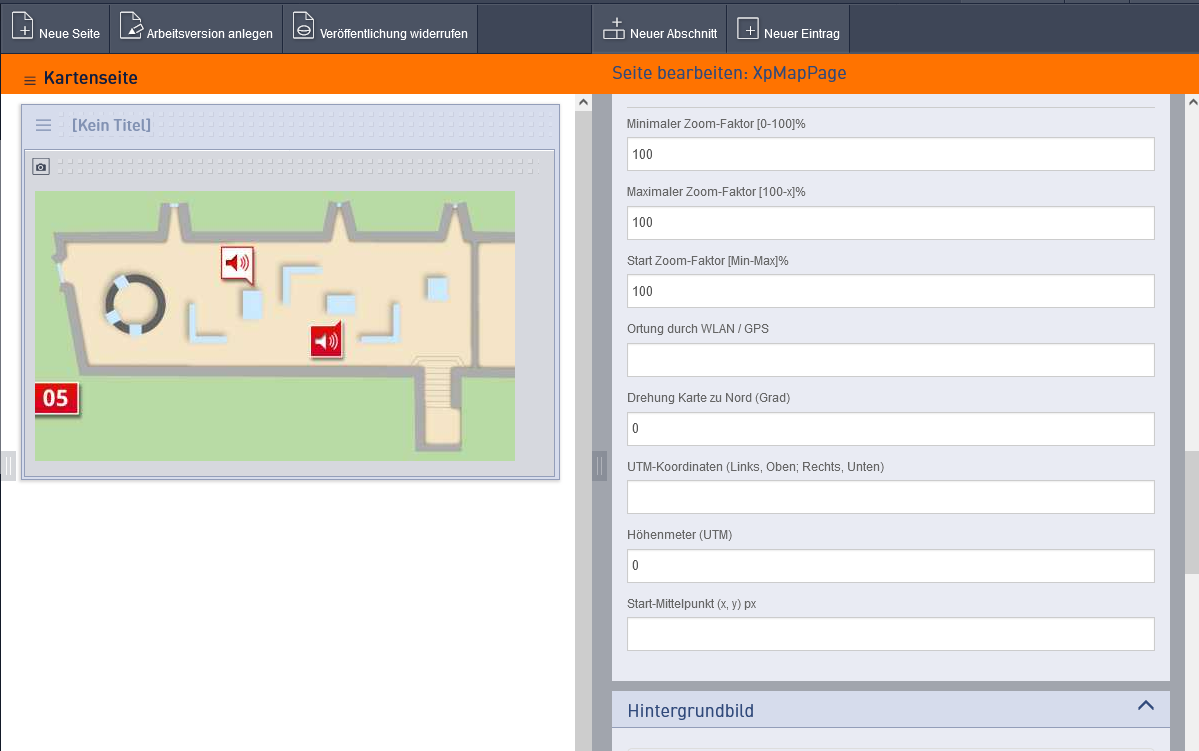
This page type enables navigation using, for example, a plan, a map of the site, a floor plan of the premises or a selection graphic.
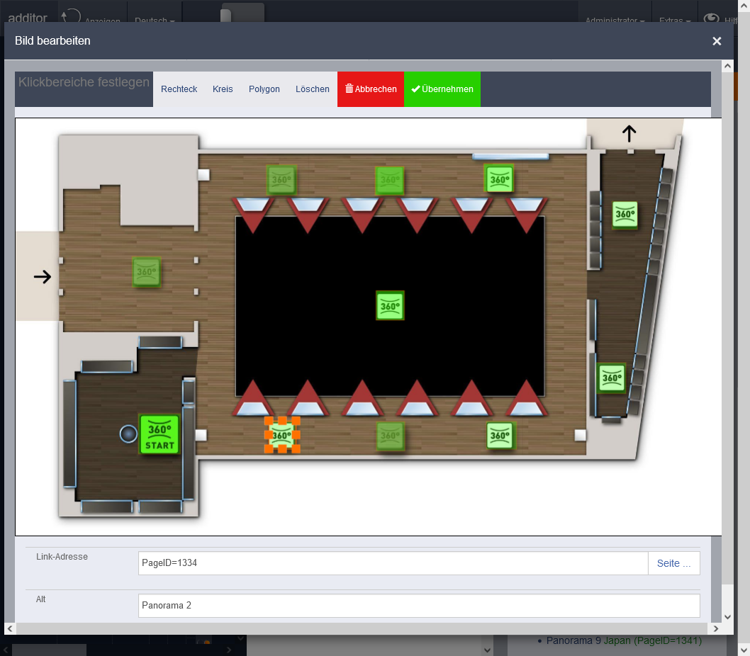
The map is inserted into the page layout as an image entry and is the only entry required there. The individual linked elements can be added to the image using the ‘Click Areas’ function. In older systems, this function can be found under ‘Edit Image’.
To find out
how to create buttons with your own icons on the map, see Automatic Icons.
The page settings offer further options for controlling how the map is displayed.
These are:
- Minimum zoom factor [0–100]%
- Maximum zoom factor [100–x]%
- Start zoom factor [Min–Max]%
- Location via Wi-Fi / GPS
- Map rotation to north (degrees)
- UTM coordinates (left, top; right, bottom)
- Elevation (UTM)
- Start centre point (x, y) px Example input: 1500, 800
- Size of automatically generated icons in %
Show GPS location on map
If you wish to use an image of a map for navigation, you can display the user’s position on the map.
This requires the map to be georeferenced. It must match the proportions of a real map (preferably OpenStreetMap (https://karte.openstreetmap.de/)). You will also need the UTM coordinates of the top-left and bottom-right corners of the map.
Enter these values in the ‘UTM coordinates (Left, Top; Right, Bottom)’ field under the ‘Map’ section in the page properties, ensuring you use commas and semicolons correctly.
Enter ‘GPS’ in the ‘Positioning system’ field.
GPS must have been enabled for your web app, visitor app or loan devices.
In the web app, the user is asked whether they consent to location tracking. Their location is only displayed if they give their consent.
Pseudo-localisation
If indoor positioning cannot be achieved (see below), you can simulate your own position using the pages you have visited.
To do this, in the page properties of the map, a unique name for the map (e.g. “Level1”) must be entered instead of the UTM coordinates, and “PIXEL” must be selected as the positioning system. Furthermore, the system must be configured to allow the use of pseudo-positioning. The pseudo-coordinates of the link are automatically entered on the map and on the target page when a page is linked from a map.
If a visitor accesses this page and then goes to the map page, the page’s coordinates are displayed on the map.
NFC tag with pseudo-coordinates
It is possible to create NFC tags that open a map page and display a specific location on it. This allows a visitor in a large or complex building to determine their current position on the map even without indoor positioning.
Please contact us if you are interested in this feature.
Show indoor location on map
GPS tracking does not work inside buildings.
It is possible to fit rooms with Bluetooth transmitters, which can be used for positioning. The accuracy depends on the number of transmitters and the characteristics of the rooms. In an ‘empty’ room with few walls or obstacles, positioning is generally less accurate than when the Bluetooth signals are shielded by objects within the room.
If you opt for indoor positioning, the placement of the Bluetooth transmitters must first be planned. Once installed, the room must then be calibrated. Unfortunately, this involves a considerable amount of work.
The results can then be used on the Mediaguides to determine your own position. As every smartphone reacts with a different level of sensitivity, this type of positioning works best with loan devices.